Hask survey & GIS services maintain a high number of repeat clients due to the fact that we make your project our priority. We look forward to working with you on your future projects. We survey all horizontal and vertical structures including roads, dams, building sites, irrigation canals, railroad tracks, cities, commercial and industrial areas, electrical transmission lines and other infrastructure projects. The survey & GIS services include:
Topographic Survey
Route Survey
GIS Mapping
Drone Survey
Infrastructure Survey
Survey & GIS Services
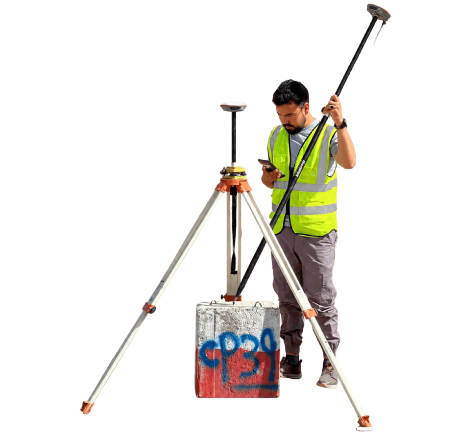
Topographic survey
Topographic Survey services involve detailed field measurement, mapping, and data collection for roads, highways, pipelines, canals, transmission lines, and other infrastructure projects. These surveys help engineers identify the most suitable route alignment, evaluate site conditions, reduce construction risks, and prepare accurate technical designs for successful project implementation.
Survey & GIS Services
Route survey
Route Survey services involve detailed field measurement, mapping, and data collection for roads, highways, pipelines, canals, transmission lines, and other infrastructure projects. These surveys help engineers identify the most suitable route alignment, evaluate site conditions, reduce construction risks, and prepare accurate technical designs for successful project implementation.
Survey & GIS Services
GIS Mapping
Our GIS mapping services transform spatial data into intelligent visual maps for analysis and decision-making. We integrate geographic data with advanced software to support planning, environmental assessment, and infrastructure development.
Survey & GIS Services
Drone Survey Technology
We utilize drone-based surveying technology to capture high-resolution aerial imagery and data and efficiency. This approach improves accuracy, reduces field time, and enhances project monitoring and reporting.
Survey & GIS Services
Infrastructure Survey
Infrastructure Survey services provide accurate land measurement, mapping, and site data collection for roads, bridges, buildings, drainage systems, utilities, and other development projects. These surveys help engineers understand ground conditions, prepare precise designs, plan construction activities, and ensure projects are built safely, correctly, and according to technical standards.